Marseille is known as the 2nd biggest city in France, and like a many big cities, it’s obviously very difficult to find a parking space where you don’t want to spend a dime. But if you are looking for a space to park your car for free in the city of Marseille, you have clicked on the right article. I have listed some free-of-charge parking spaces in Marseille.
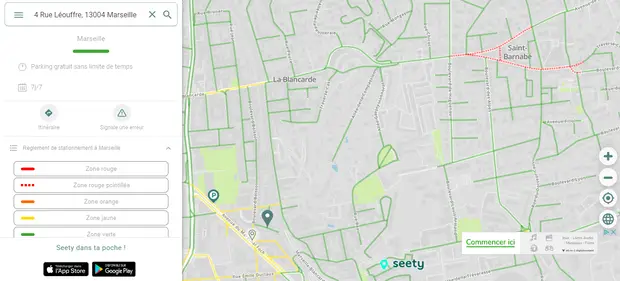
Let’s start this article by placing those available parking spaces on a map:
1st arrondissement
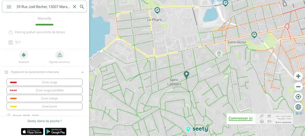
🗺️ View the map on the Seety website
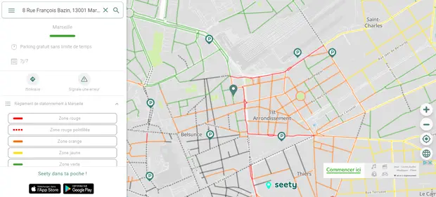
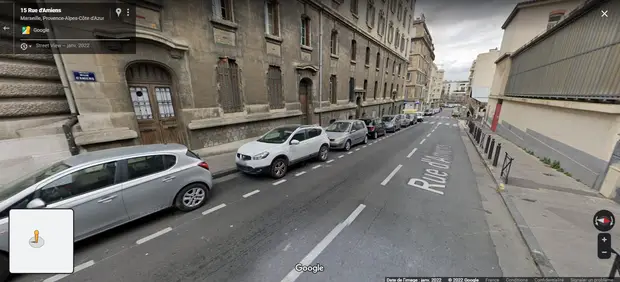
Rue François Bazin
- You’ll find spaces to park your car between space des Marseillaises and Rue des Dominicaines, where the Terminus Saint-Charles and Massilia hotels can be found.
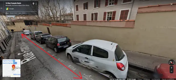
🗺️ View the location on Google Maps
Public transports:
- Walk for 4 minutes to the Saint-Charles station (Subway 1), and get off the subway at the Vieux Port station (Timesheet: 5:10 am to 12:41 am).
- Nédélec Leclerc bus stop (Bus 82S) located at 5 minutes on foot (Timesheet: 6:14 am to 8:44 pm), your destination will be at the Hôtel de Ville stop.
Rue Francis de Pressensé
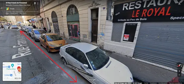
🗺️ View the location on Google Maps
Public transport to Quai du Port or nearby areas:
Walk to the Métro Jules Guesde bus stop (Bus 82S) which is 6 minutes away from your parking space (Schedule: 6:14 am to 8:44 pm), and will get off at the Hôtel de Ville stop.
2nd arrondissement
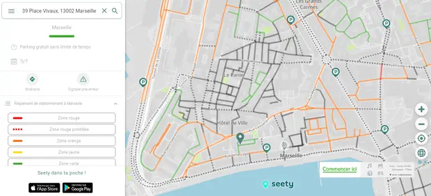
🗺️ View the map on the Seety website
Space Vivaux
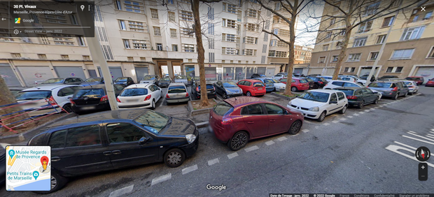
🗺️ View the location on Google Maps
You are only 1 minute away on foot from the harbor’s docks.
Space des Moulins
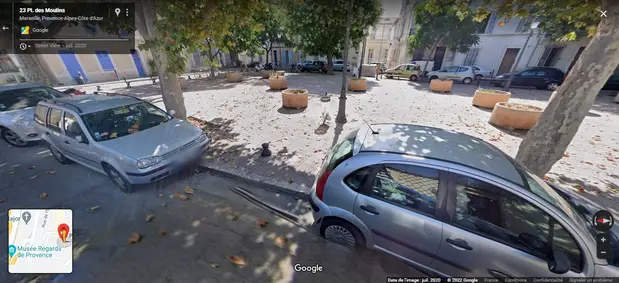
🗺️ View the location on Google Maps
Pass through space des Moulins and Rue de la Prison, you will arrive at the harbor’s docks in only 6 minutes.
Rue Miradou
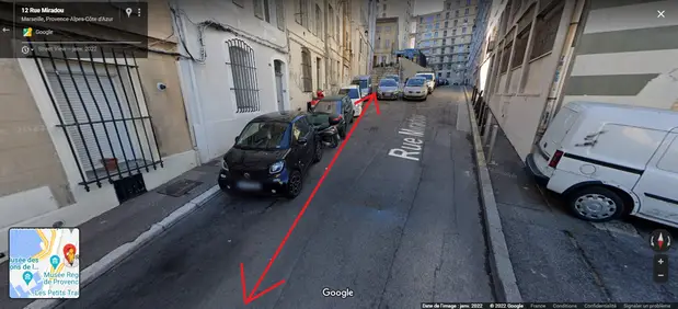
🗺️ View the location on Google Maps
Passing through Rue Caisserie, it’ll take you 8 minutes to reach the harbour’s docks.
Rue de la Joliette
- Warning! You’ll only find free parking spaces on the right side of the street, the other side is reserved for deliveries.
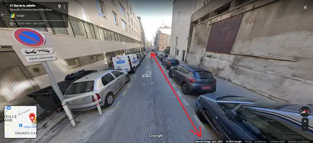
🗺️ View the location on Google Maps
Public transports:
- Go to the République Dames bus stop (Bus 55) which is 5 minutes away on foot (Timesheet: 5:46 am to 9:15 pm), and get off the bus at the Bonneterie stop, 3 minutes away from the harbor’s docks.
- To go to the Hôtel de Ville, walk to the Dames République bus stop (Bus 82S) located 5 minutes away (Timesheet: 6:15 am to 8:45 pm), and get off the bus at the Hôtel de Ville stop.
3rd arrondissement
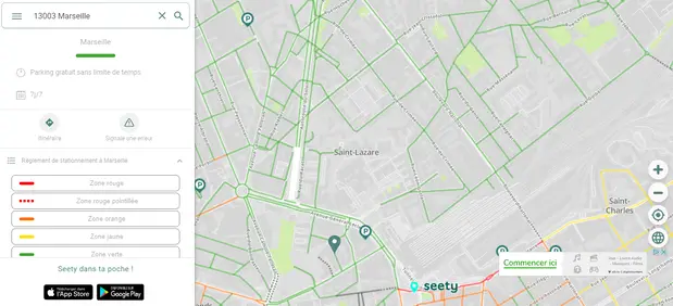
🗺️ View the map on the Seety website
Saint-Lazare Neighborhood
🗺️ View the location on Google Maps
Public transports:
- Walk for 4 minutes to the Faculté Saint Charles bus stop (Bus 82S), and get off at the Hôtel de Ville bus stop (Timesheet: 6:15 am to 8:45 pm)
- To reach the Old Port, go to the Saint-Charles station (Subway 1) located 9 minutes away from your parking space (Timesheet: 5:10 am to 12:41 am). Your destination will be at the Vieux Port station.
Rue Frédéric Ozanam
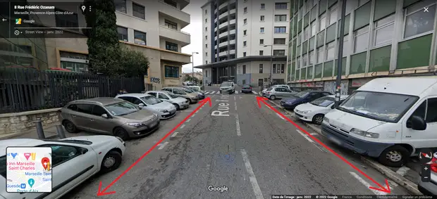
🗺️ View the location on Google Maps
Public transport:
- If your destination is the Hôtel de Ville, walk for 3 minutes until you reach the Nédelec Guesde bus stop (Bus 82S), available from 6:15 am to 8:45 pm. Your destination will be the Hôtel de Ville stop.
- Walk for 7 minutes to the Saint-Charles station (Subway 1), and get off at the Vieux Port station (Timesheet: 5:10 am to 12:41 am)
La Belle de Mai
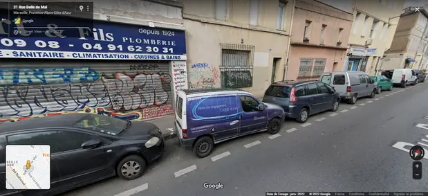
🗺️ View the location on Google Maps
Public transport:
Walk for 2 minutes to the Jourdan Bonnardel bus stop (Bus 49), available from 5:39 am to 9:29 pm. Your destination is the space Bargemon bus stop, 3 minutes away from the harbor’s docks.
4th arrondissement
🗺️ View the map on the Seety website
Rue Leouffre
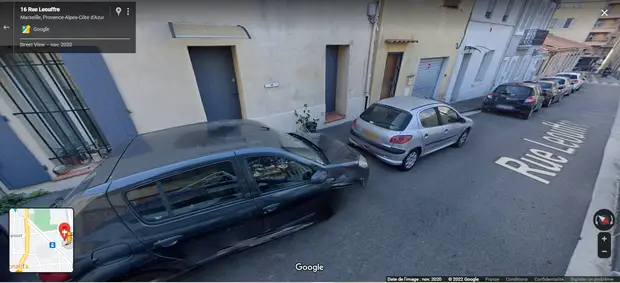
🗺️ View the location on Google Maps
Public transports:
- Walk for 7 minutes to the La Blancarde station (Subway 1), your destination will be the Vieux Port station (Timesheet: 5:21 am to 12:52 am)
- Go to the Jean Martin tramway stop (Tramway 1) located 7 minutes away from your parking space on foot (Timesheet: 4:59 am to 12:31 am), and get off the tramway at the Noailles stop, 12 minutes away from the harbour’s docks.
Boulevard Colonel Robert Rossi
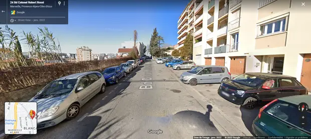
🗺️ View the location on Google Maps
Public transports:
- If your destination is the Old Port, walk for 11 minutes to the Chartreux station (Subway 1), available from 5:06 am to 12:36 am. Your destination will be the Vieux Port stop.
- Take the Tramway 2 starting from the Cinq Avenues stop, located 11 minutes away from your parking stop, and get off at the Sadi Carnot stop, 12 minutes away from Quai du Port (Timesheet: 4:53 am to 12:03 am)
Boulevard Françoise Duparc
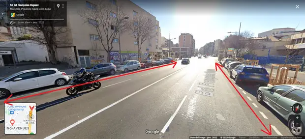
🗺️ View the location on Google Maps
Public transports:
- Walk for 9 minutes to the Chartreux station (Subway 1), your destination will be the Vieux Port stop (Timesheet: 5:06 am to 12:36 am)
- Go to the Cinq Avenues tramway stop (Tramway 2), available from 4:53 am to 12:03 am, and get off the tramway when it arrives at the Sadi Carnot stop, 7 minutes away from the harbor’s docks.
5th arrondissement
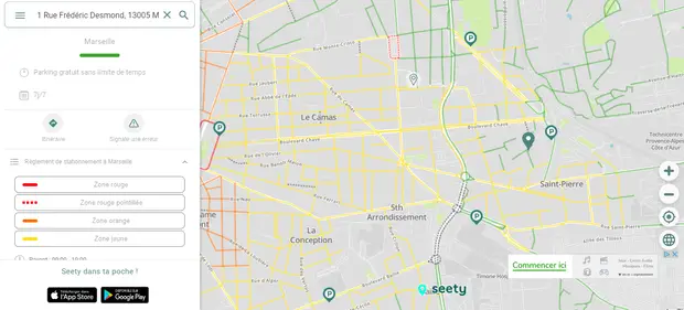
🗺️ View the map on the Seety website
Rue Frédéric Desmond
- The free parking spaces are close to the Saint Pierre elementary school.
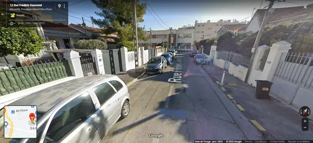
🗺️ View the location on Google Maps
Public transports:
- Walk for 9 minutes to the La Blancarde station (Subway 1), until you reach the Vieux Port stop (Timesheet: 5:06 am to 12:36 am)
- If you want to use the tramway, go to the La Blancarde stop (Tramway 2), located 6 minutes away from your parking space, and get off the tramway at the Sadi Carnot stop (Timesheet: 4:53 am to 12:03 am)
- Alternately, Tramway 1 stops at La Blancarde, and can lead to Noailles, 12 minutes away from the harbor’s docks (Timesheet: 4:58 am to 12:30 am)
6th arrondissement
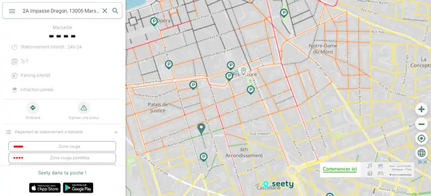
🗺️ View the map on the Seety website
Rue Dragon
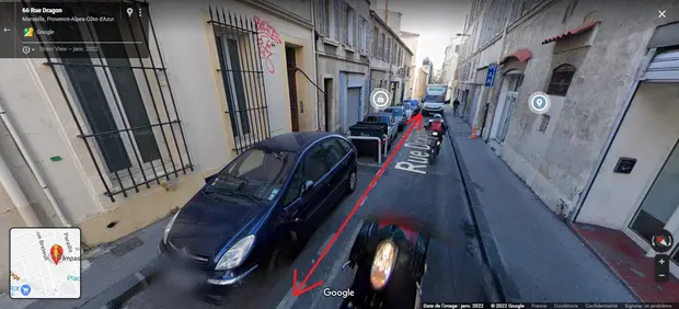
🗺️ View the location on Google Maps
Public transports:
Walk for 4 minutes to the Estragin station (Subway 1), until you get to the Vieux Port stop (Timesheet: 5:06 am to 12:36 am)
Rue des Vignerons
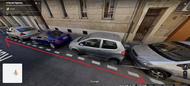
🗺️ View the location on Google Maps
Public transports:
- Walk for 6 minutes to the Estrangin station (Subway 1), and get off the subway at the Vieux Port stop (Timesheet: 5:06 am to 12:36 am)
- The Notre Dame Dragon bus stop (Bus 49) is 9 minutes away on foot from your parking space, as well as your destination close to downtown is Bonneterie (Timesheet: 6:15 am to 9:15 pm)
- Go to the Rome Dragon stop (Tramway 3), located 5 minutes away on foot, and get off the tramway when reaching the Sadi Carnot stop (Timesheet: 5:21 am to midnight)
7th arrondissement
🗺️ View the map on the Seety website
Rue Joël Recher
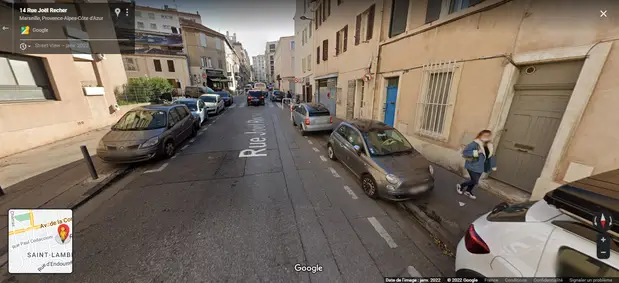
🗺️ View the location on Google Maps
Public transports:
- Take Bus 83 at the space du 4 Septembre stop (Timesheet: 6:14 am to 9:19 pm), until you reach the Hôtel de Ville stop.
- The St Victor bus stop (Bus 55) is 7 minutes away on foot from your parking space (Timsheet: 6:10 am to 9 pm), bus until you reach the Bonneterie stop.
- Another bus can take you to the City Hall: Bus 60 (Timesheet: 7:23 am 7:35). Wait at the Place Joseph Etienne bus stop (6 minutes away from your car) and get off the bus once you get to the Hôtel de Ville stop.
Rue des Lices
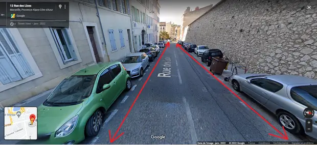
🗺️ View the location on Google Maps
Public transports:
- Go to the Théâtre La Criée bus stop (Bus 83) located 7 minutes away from rue des Lices, and wait until you reach the Hôtel de Ville stop (Timesheet: 6:16 am to 9:19 pm)
- Another bus can lead you to the Hôtel de Ville, Bus 60 (Timesheet: 7:23 am to 7:35 pm). Walk for only 1 minute to the Lices Chaix bus stop, and get off once you get to the Hôtel de Ville stop.
- Walk for 3 minutes to the St Victor bus stop (Bus 55), until you reach the Bonneterie stop, 3 minutes away from Quai du Port (Timesheet: 6:10 am to 9 pm)
- Alternatively, a ferry station is located at Place aux Huiles, 10 minutes away from rue des Lices. Get onboard, and you will reach your destination in 4 minutes. (Timesheet: 7:30 am to 8:30 pm)
Rue Robert
- There are free parking spaces in this street, located near the Marcel Carbonel Art Museum or the bar Le Café de l’Abbaye.
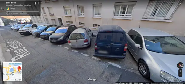
🗺️ View the location on Google Maps
Public transports:
- Walk for 3 minutes to the Théâtre La Criée bus stop (Bus 83), and get off at the Hôtel de Ville stop (Timesheet: 6:16 am to 9:19 pm)
- Alternately, Bus 60 also takes you to the City Hall (Timesheet: 7:23 am to 7:35 pm). Wait for the bus at the Petit Chantier stop, located 4 minutes away on foot, and get off at the Hôtel de Ville stop.
- The St Victor bus stop (Bus 55) is 7 minutes away from your parking space (Timesheet: 6:10 am to 9 pm), your destination will be the Bonneterie stop, 3 minutes away from the harbor’s docks.
- You can also ferry at space des Huiles, located 6 minutes away on foot. It will reach the City Hall in 4 minutes. (Timesheet: 7:30 am to 8:30 pm)
Rue César Aleman
- Along the street, you will find small shops.
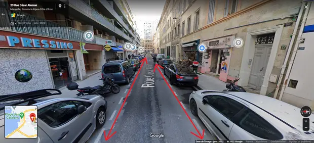
🗺️ View the location on Google Maps
Public transports:
Go to the Corniche Audeoud bus stop (Bus 83) located 2 minutes away on foot, until getting to the Hôtel de Ville stop. (Timesheet: 6:16 am to 9:19 pm)
Rue Samatan
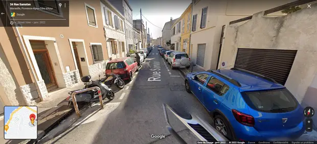
🗺️ View the location on Google Maps
Public transports:
Walk for 8 minutes to the space du 4 Septembre bus stop (Bus 83) and get off the bus at the Hôtel de Ville stop. (Timesheet: 6:16 am to 9:19 pm)
Rue Charras
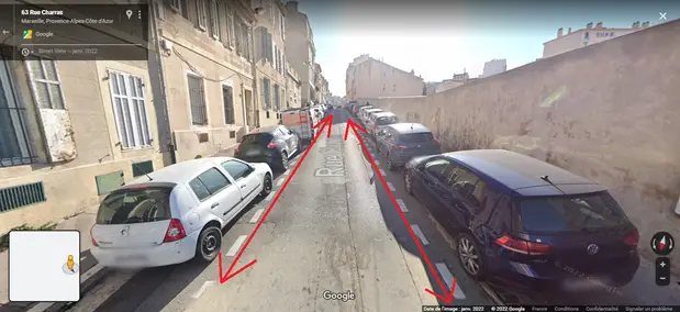
🗺️ View the location on Google Maps
Public transports:
Corniche Audeoud bus stop (Bus 83) is located 3 minutes away on foot, until getting to the Hôtel de Ville stop. (Timesheet: 6:16 am to 9:19 pm)
8th arrondissement
🗺️ View the map on the Seety website
Avenue de Mazargues
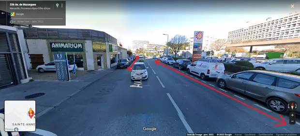
🗺️ View the location on Google Maps
Public transports:
- Go to the CC Ste Anne bus stop (Bus 45) available from 5:19 am to 9:49 pm, and get off at the Métro Rond Point du Prado stop. Then enter the Rond Point du Prado station (Subway 2) available from 5 am to 12:33 am, your destination will be the Noailles station, 12 minutes away from Quai du Port.
- To go to the Old Port, walk to the Michelet Bousquet bus stop (Bus B1) and get off at the Castellane stop (Timesheet: 4:31 am to 9:54 pm). Then enter the Castellane station (Subway 1) available from 5:06 am to 12:36 am, your destination will be the Vieux Port station.
Rue Raphaël Ponson
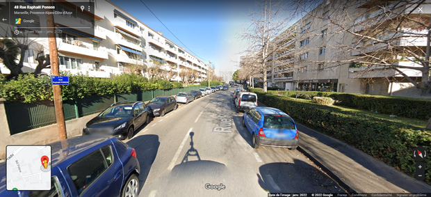
🗺️ View the location on Google Maps
Public transports:
To go to the Old Port, go to the Rond Point du Prado station (Subway 2) available from 5 am to 12:33 am, until reaching the Noailles stop. Then enter the Castellane station (Subway 1), your destination will be the Vieux Port station. (Timesheet: 5:06 am to 12:36 am).
9th arrondissement
🗺️ View the map on the Seety website
Avenue Desautel
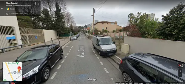
🗺️ View the location on Google Maps
Public transports:
If you are going to the Old Port, go to the Michelet Blanc bus stop (Bus B1) available from 4:31 am to 9:54 pm, and get off the bus at the Castellane stop. Then enter the Castellance station (Subway 1), your destination is the Vieux Port station (Timesheet: 5:06 am to 12:36 am)
Boulevard Michelet
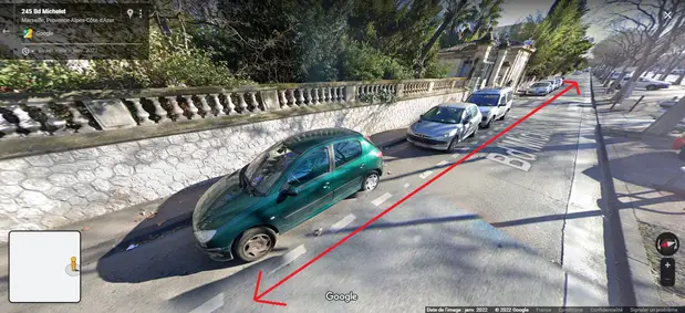
🗺️ View the location on Google Maps
Public transports:
- To go to the Old Port, enter Le Corbusier bus stop (Bus 1) available from 4:31 am to 9:54 pm, and get off at the Castellane stop. Then enter the Castellane station (Subway 1) available from 5:06 am to 12:36 am, your destination is the Vieux Port station.
- Go to the Michelet Blanc bus stop (Bus B1) available from 4:31 am to 9:54 pm, and get off at the Castellane stop. Then go to the Rond Point du Prado station (Subway 2), your destination will be the Noailles station, 12 minutes away from Quai du Port (Timesheet: 5 am to 12:33 am)
Boulevard de la Fabrique
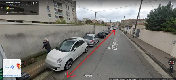
🗺️ View the location on Google Maps
Public transports:
- Ste Anne Haïfa bus stop (Bus 45) available from 5:19 am to 9:49 pm, and get off the Métro Rond Point du Prado stop. Then Rond Point du Prado station (Subway 2), your destination is the Noailles station, 12 minutes away from Quai du Port (Timesheet: 5 am to 12:33 am)
- To go to the Old Port, Michelet Bonnaude bus stop (Bus B1) available from 4:31 am to 9:54 pm, and get off at the Castellane stop. Then Castellane station (Subway 2), your destination is the Vieux Port station (Timesheet: 5 am to 12:33 am)
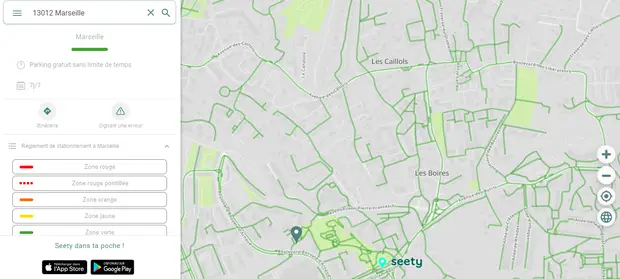
10th arrondissement
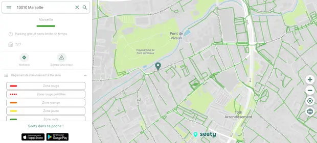
🗺️ View the map on the Seety website
Boulevard Romain Rolland
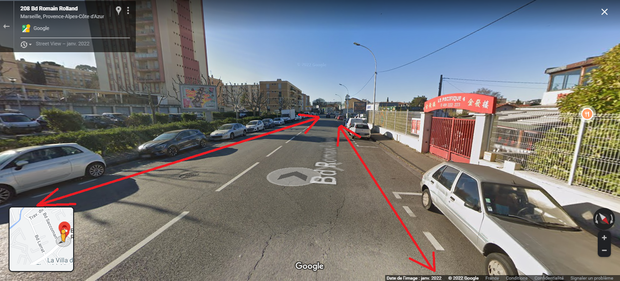
🗺️ View the location on Google Maps
Public transports:
- Go to the La Sauvagère bus stop (Bus 15) available from 4:49 am to 9:44 pm, and get off at the Ste Marguerite Dromel stop. Then enter the Ste Marguerite Dromel station (Subway 2), your destination is the Noailles station, 12 minutes away from Quai du Port (Timesheet: 5 am to 12:33 am)
- To go to the Old Port, go to the Michelet Bonnaude bus stop (Bus B1) available from 4:31 am to 9:54 pm, and get off at the Castellane stop. Then enter the Castellane station (Subway 2), your destination is the Vieux Port station (Timesheet: 5 am to 12:33 am)
Rue Pierre Doize
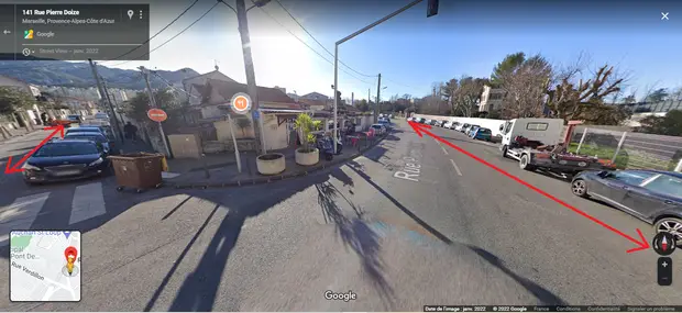
🗺️ View the location on Google Maps
Public transports:
CC St Loup bus stop (Bus 17) available from 4:46 am to 9:21 pm, and get off at the Métro Ste Marguerite Dromel stop. Then enter the Sainte-Marguerite Dromel station (Subway 2) available from 5 am to 12:33 am to reach the Castellane station. Finally, enter the Castellane station (Subway 1), your destination is the Vieux Port station (Timesheet: 5:06 am to 12:36 am)
Boulevard Icard
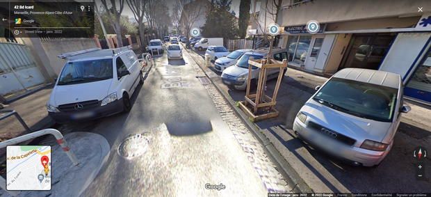
🗺️ View the location on Google Maps
Public transports:
- Go to the Pont de Vivaux bus stop (Bus 91), available from 5:15 am to 9:15 pm, before leaving at the Métro La Timone stop, then enter the La Timone station (Subway 1), from 5:06 am to 12:36 am. Your destination is the Vieux Port stop.
- Go to the Romain Rolland Pont de Vivaux bus stop (Bus 15S) available from 7:21 am to 9:27 pm and get off at the Métro Ste Marguerite Dromel stop. Then enter the Sainte-Marguerite Dromel station (Subway 2), your destination will be the Noailles station, 12 minutes away from Quai du Port (Timesheet: 5 am to 12:33 am)
- Go to the Pont de Vivaux bus stop (Bus 18) available from 4:57 am to 9:20 pm, and get off at the Castellane stop, then take Tramway 3 at the Castellane stop. Your destination is the Sadi Carnot stop, located 6 minutes away from Quai du Port. (Timesheet: 5:20 am to midnight)
12th arrondissement
🗺️ View the map on the Seety website
Avenue des Cigalons
- If you are looking for free parking spaces in this avenue, then the sidewalk is a good space to park your car without spending a dime.
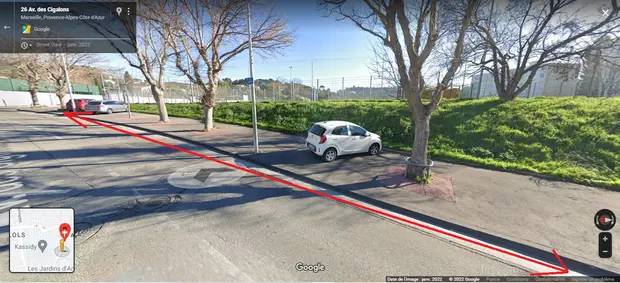
🗺️ View the location on Google Maps
Public transports:
- If your destination is the Old Port, go to the Arrêt Caillols Provence bus stop (Bus 9), available from 5:02 am to 9:33 pm, and get off at the Métro St Barnabé stop, then enter the Saint-Barnabé station (Subway 1). Your destination will be the Vieux Port station (Timesheet: 5:06 am to 12:36 am)
- Go to the Les Caillols tramway stop (Tramway 1), located 17 minutes away on foot, until arriving at the Noailles stop, 12 minutes away from Quai du Port (Timesheet: 5 am to 12:18 am)
Boulevard Boulaya d’Arnaud
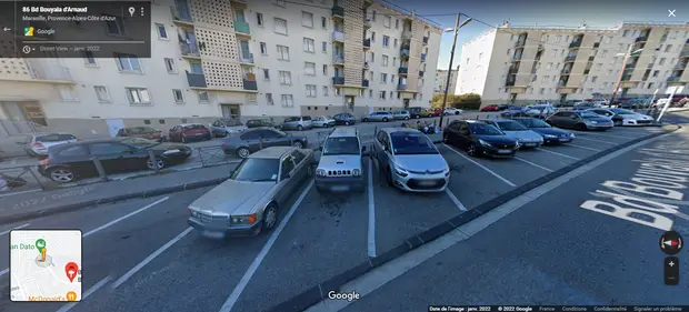
🗺️ View the location on Google Maps
Public transports:
- To go to the Old Port, go to the Mairie 11-12 bus stop (Bus 10) available from 5:55 am to 9:20 pm, and get off at the Métro Louis Armand stop, then enter the Louis Armand station (Subway 1). Your destination is the Vieux Port station (Timesheet: 5:06 am to 12:36 am)
- Walk for 6 minutes to the Les Caillols tramway stop (Tramway 1), and get off the tramway at the Noailles stop, 12 minutes away from Quai du Port (Timesheet: 5 am to 12:18 am)
13th arrondissement
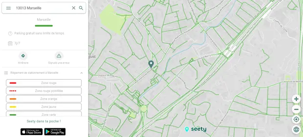
🗺️ View the map on the Seety website
Boulevard de la Coopération
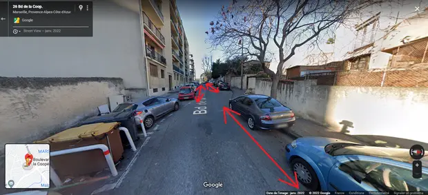
🗺️ View the location on Google Maps
Public transports:
- Walk for 8 minutes to the Malpassé tramway stop (Tramway 1), your destination is the Noailles stop, 12 minutes away from Quai du Port (Timesheet: 5 am to 12:18 am)
- Alternately, go to the Les Cèdres bus stop (Bus 32), located 9 minutes away on foot, your destination will be the Barbusse Colbert stop, 7 minutes away from Quai du Port (Timesheet: 5:10 am to 9:36 pm)
Boulevard Lacordaire
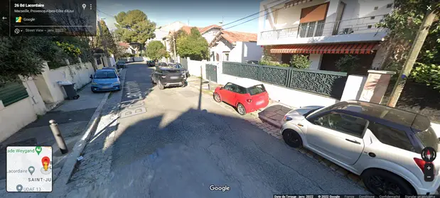
🗺️ View the location on Google Maps
Public transports:
If you are going to the Old Port, go to the Saint Just station (Subway 1), 12 minutes away on foot from your parking space, and get off the subway at the Vieux Port station (Timesheet: 5:06 am to 12:36 am)
Boulevard Luc
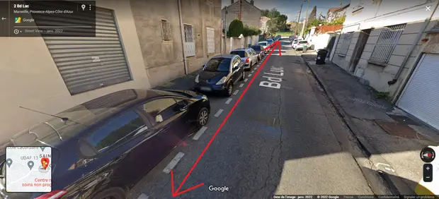
🗺️ View the location on Google Maps
Public transports:
Walk for 9 minutes to the Saint Just station (Subway 1), and get off at the Vieux Port station (Timesheet: 5:06 am to 12:36 am)
Boulevard Laveran
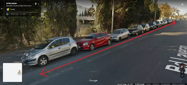
🗺️ View the location on Google Maps
Public transports:
- If you are going to the Old Port, walk for 15 minutes to the Malpassé station (Subway 1), until reaching the Vieux Port station (Timesheet: 5:06 am to 12:36 am)
- Go to the Les Cèdres bus stop (Bus 32), located 3 minutes away on foot, your destination is the Barbusse Colbert stop, 7 minutes away from Quai de Port (Timetable: 5:10 am to 9:36 pm)
I aim to share my tips and recommendations for the beautiful country of France. My goal is to help you plan your next adventure, whether it’s a weekend getaway or a once-in-a-lifetime trip. From finding the best hotels and restaurants, to discovering unique activities and sights, I’ve got you covered!